
LiDAR Mapping Austin Sites Where Dense Cedar Hides the Ground Surface
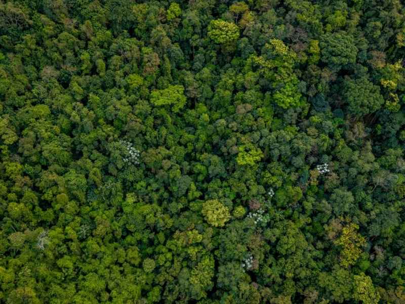
Walk into a thick stand of Austin cedar and you lose sight of the ground fast. Branches block your view. Fallen limbs cover the dirt. You can’t tell if you’re standing on flat land or right at the edge of a drop. This is where LiDAR mapping changes the game. It shows what the ground actually looks like under all that cedar, without anyone needing to cut a single tree first.
Cedar brush is thick and messy. It grows low, it grows dense, and it hides more than most people realize. LiDAR mapping cuts through that mess and gives a clear look at the land hiding underneath.
Why Dense Cedar Can Hide the True Shape of the Ground
Cedar doesn’t grow like other trees. It grows low and wide, with branches that start near the ground and tangle together. Walk through a patch of it and you’ll fight through limbs the whole way. That makes it hard to see even a few feet ahead, let alone judge the shape of the land around you.
This matters a lot on properties, where limestone shelves, rocky breaks, and sudden dips are common. A patch of cedar can hide a steep drop just past where you’re standing. It can cover a low spot that fills with water after rain. It can sit right on top of a ridge you’d never notice from the ground.
Without a clear view of the terrain, it’s tough to plan anything on a cedar-covered lot. That’s the exact problem LiDAR mapping solves.
How LiDAR Mapping Identifies Ground Beneath Cedar Cover
LiDAR sends out laser pulses from a plane or drone flying over the site. Each pulse bounces off whatever it hits first. Some pulses hit the top of the cedar. Others slip through small gaps in the branches and bounce off the ground itself.
The system records every single bounce, which means it often gets more than one return from the same spot. One return might come from the top of the brush. Another might come from the dirt underneath. Special software then sorts these returns into two groups: points that came from plants, and points that came from the actual ground.
This sorting step is what makes LiDAR so useful on cedar-heavy land. It pulls the ground data out from under all that thick brush, even when a person standing on site couldn’t see the ground at all.
Creating a Bare-Earth Model Before Cedar Is Cleared
Once the ground points are separated from the plant points, they get turned into what’s called a bare-earth model. This is basically a map of the land as if all the cedar wasn’t there. Every dip, rise, and rocky edge shows up clearly.
The biggest benefit here is timing. A bare-earth model can be built before anyone clears a single branch. That means property owners get a real look at their land’s shape without spending money on clearing work first, and without guessing at what might be hiding under the brush.
This turns a confusing tangle of cedar into a simple, readable map. Anyone looking at it can see exactly where the land rises, drops, or flattens out.
Hidden Terrain Features LiDAR Can Reveal on Cedar-Covered Sites
Cedar brush hides more than most people expect. Once the data gets filtered, all kinds of terrain features show up that weren’t visible before.
Slope breaks are one common find. These are spots where flat ground suddenly turns steep, often hard to spot on foot until you’re already standing on the edge. Shallow draws show up too. These are small low channels where water tends to collect and move during rain. Ridges and rocky outcrops, both common across Austin’s hill country, often sit hidden under a thick patch of brush.
Low areas and uneven grades round out the list. These spots can hold water, shift under construction equipment, or simply throw off a design that didn’t account for them. A bare-earth model brings all of this into view at once.
How LiDAR Data Supports Early Site Evaluation
Once the terrain is mapped, property owners, engineers, and designers can use it to make smarter decisions early on. Instead of walking a cedar thicket and guessing where trouble spots might be, they can look at a clear map and point to exact locations that need more attention.
This helps decide where a closer field check makes sense. It also helps figure out where clearing should start, where access roads might work best, and which parts of the site need extra thought during design. A property that looked like one big wall of cedar suddenly becomes a set of known areas with known shapes.
Getting this information early saves time and avoids costly surprises once clearing or construction actually begins.
Frequently Asked Questions
Can LiDAR see through dense trees?
Yes. LiDAR laser pulses pass through small gaps in tree cover and bounce off the ground, which lets the system build a map of the land even under thick brush.
How accurate is LiDAR mapping in wooded areas?
LiDAR mapping in wooded areas is generally very accurate, though thicker cover can reduce the number of ground returns in certain spots compared to open land.
Does LiDAR work through thick vegetation?
Yes. Even in dense cedar or brush, enough laser pulses reach the ground to create a usable terrain model once the data is sorted and filtered.
